Making sport accessible and fun for all
Transforming the lives of people living with disabilities, the inspiring organisation was founded by University of Hull graduate, Daryl Jones.
Google Maps was released way back in 2005. Since then, it has grown to cover satellite imagery, millions of points of interest, street views, turn-by-turn navigation, traffic conditions, public transportation, and a ton of other useful features.
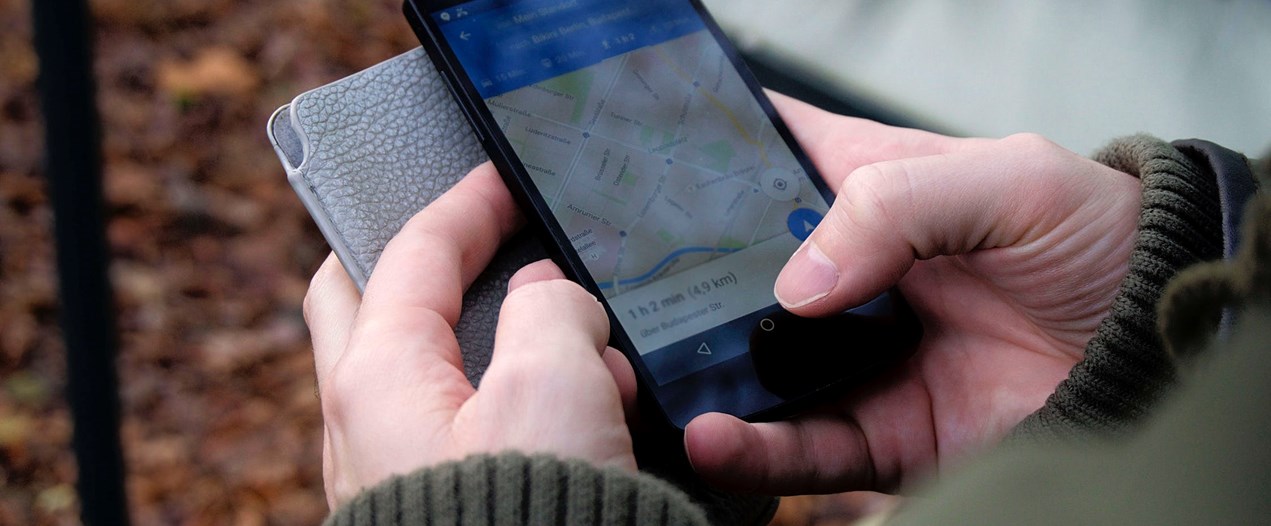
Google Maps was released way back in 2005. Since then, it has grown to cover satellite imagery, millions of points of interest, street views, turn-by-turn navigation, traffic conditions, public transportation, and a ton of other useful features. We’ve compiled this handy guide on how to make sure you’re using Google Maps to its full potential.
Saving your home and work addresses
One of the first and handiest things you should do with Google Maps is save your home and work addresses. To do this, simply open up Google Maps, tap the menu button, and select ‘Your places’. You’ll then see entries for Home and Work.
Once you put your addresses in, you’ll be able to ask Google Maps to navigate to Home or Work instead of having to manually enter the address every day. This addition also enables you to enter searches such as ‘popular restaurants near work,’ and get a list of viable suggestions.
Location tracking
With Google Maps, you’re able to look at everywhere you’ve travelled, including venues you’ve visited. This feature is called ‘your timeline’, and your history can be viewed by date, mode of transport or type of activity.
You can check things such as how many restaurants you’ve been to recently, how long your last motorway journey took, and whether or not you remembered to drop off that parcel at the post office last week.
Not long ago, Google Maps added a feature that helps you to save your parking spot if you regularly put your car in the same place. When you park, you’ll see a pop-up that asks if you want to save your location. If you say yes, you can then add additional information, like which lot you’re in or how much time is on your meter.
It’s also handy if you’re travelling somewhere new and you’re worried about forgetting where you parked!
Public transport links
As well as offering driving directions, Google Maps also contains a wealth of options if you rely on public transit for your daily commutes. You can view all of the various forms of public transportation for your journey, and it also allows you to set a departure time and see the options available, ensuring that you’re always punctual.
The app compiles public transit information – including bus, train, ferry and tram schedules – from over 100 countries and 25,000 towns, making it simple for you to find transport information whether you’re doing your weekly sjhop or visiting a whole new city.
For you
An exciting feature that was added to Google Maps this year is the ability to enable the ‘for you’ tab. This clever addition will learn from your personal preferences and go on to tell you about new and exciting things coming to your neighborhood or any other areas you regularly visit. So whenever there’s a new café, restaurant or cultural venue opening, Google Maps can let you know before everyone else.